GyroTrack
Pipeline mapping services with the GyroTrack tool
Pipeline mapping with Prime Horizontal offers post-installation pipeline mapping/ surveying using gyroscope technology. With unrivaled customer service, fast reaction times, a flexible approach to client requirements and offices on four continents, Prime Horizontal now offers GyroTrack pipeline mapping services worldwide using the field proven GyroTrack platform. Companies may use GyroTrack for mapping their product lines after using Prime Horizontal for the initial HDD services or they can use GyroTrack to map their existing pipeline and utility lines.

GyroTrack is pulled through the product line at a predetermined rate, usually 1 m/sec to 1.5 m/sec. The captured data is immediately checked on-site and may be uploaded to the office through GPRS or an immediate, on site Survey Report can be provided.
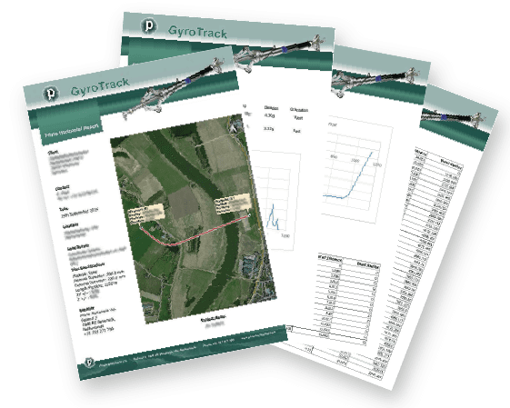
The on-site report includes at least the following attributes:
- Pipeline profile
- Bend radius report per customer defined intervals
- Inclination analysis
- Job specification
- Job locations
Output data can be exported to open platform formats for seamless integration into common, industry-standard GIS formats and saved to files such as AutoCAD, Excel, MicroStation and Notepad.
Here is an example of the GyroTrack Report after surveying is performed and is presented to end users.


